WHAT DOES A GEOGRAPHIC INFORMATION SYSTEMS TECHNICIAN DO?
Updated: Jan 20, 2026 - The Geographic Information Systems Technician executes GIS database updates including location changes, route designs, and KML data migration into a file Geodatabase while ensuring structural integrity and data organization. This position utilizes specialized tools for data loading and transfer, maintains comprehensive documentation, and applies cartographic standards to create accurate maps and exhibits. This role supports senior GIS staff, collaborates with CAD teams for design planning, and performs GIS data gathering, digitizing, conversion, and analysis.

A Review of Professional Skills and Functions for Geographic Information Systems Technician
1. Geographic Information Systems Technician Duties
- GIS Techniques: Utilizes Geographic Information System (GIS) techniques to provide a better understanding of certain variables in a given geographic location.
- Data Extraction: Extracts data from GIS software and databases.
- Data Visualization: Provides maps and data sets to clients to supplement analysis.
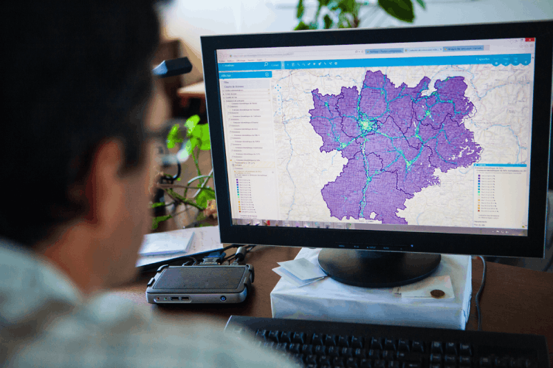
- GIS Knowledge: Knowledgeable in GIS software and technology, works under immediate supervision and in conjunction with GIS Analyst.
- Guideline Adherence: Instructions and pre-established guidelines are minimal to perform the job functions.
- Map Production: Use techniques to produce map products and graphic representations of data for organizations within the Corporation.
- Map Design: Extracts data from GIS software and produces geographic maps.
- Client Reporting: Provides maps and data sets to clients to supplement analyses.
- CAD Integration: Imports CAD Documents into the appropriate GIS coordinates.
- GIS and CAD Design: Produce GIS geospatial drawings and occasional CAD drawing design, construction, and maintenance documents.
- ArcGIS Proficiency: Learn how to use and utilize ArcGIS Desktop & Online maps.
- Team Collaboration: Attend project & professional development meetings.
2. Geographic Information Systems Technician Details
- GIS Data Editing: Converts and edits GIS data including scanning, geo-referencing, digitizing, and attributing features and performing QA/QC on GIS data.
- Cartographic Design: Designs and produces visually appealing and informative cartographic products.
- ArcGIS Configuration: Configures ArcGIS Online SaaS applications.
- Field Data Collection: Collects field data using GPS data loggers and/or GIS apps deployed on tablets.
- QA/QC Testing: Performs QA/QC testing and bug reporting for custom solutions.
- Metadata Preparation: Prepares the GIS metadata.
- Technical Report Writing: Prepares technical reports and documents, such as user help manuals.
- Web App Development: Creating and maintaining web apps using ArcGIS Online to share the data internally.
- Cross-functional Collaboration: Working closely with civil engineers/geophysicists, geotechnical engineers.
- Data Analysis: Creating and analyzing statistics and data.
- Data Management Knowledge: Familiar and keep current with data collection & asset management concepts, principles, and practices.
- Network Development: Assist in modifying or developing municipal utility networks.
3. Geographic Information Systems Technician Responsibilities
- GIS Development Support: Assisting in the development of the GIS at all NJ operations.
- GPS Data Collection: Responsible for collecting GPS locations of client assets in the field.
- GIS Standards Development: Researching, developing, and implementing standards for GIS systems, including but not limited to databases, applications, and training programs.
- GIS File Production: Producing GIS files and outputs for mapping, engineering projects, and presentations.
- Technical GIS Support: Responsible for enhancing and promoting the utilization of GIS through technical support for other team members on a daily basis.
- Spatial Analysis: Working with raster and vector data, perform spatial analyses including queries, creating layers, defining coordinate systems, joining and relating databases, importing Excel files, and creating map points from data within them.
- Geospatial Solutions: Provide geospatial solutions assistance to MCP project managers and clients on next-generation network solutions.
- Quality Assurance: Assure quality of project deliverables and client satisfaction.
- Onsite Surveys: Perform onsite surveys of existing systems and organizations with an emphasis on data-gathering and potential system improvement, cost reduction, and operational efficiencies.
- Report and Presentation Development: Conduct analysis, develop reports, and project presentations.
- Knowledge Sharing: Share technical knowledge and expertise with peers - exchanging ideas, concepts, and processes that create a strong team approach to problem-solving and client solutions.
- System Maintenance: Ensuring the company's digital system information, distribution system asset database, and system maps are accurately updated and kept current.
4. Geographic Information Systems Technician Job Summary
- Geospatial Data: Uses geospatial data to complete tasks using knowledge of Geographical Information Systems.
- Map Creation: Create maps and perform a wide range of geospatial analyses in support of environmental permitting associated with a variety of major infrastructure and power-related projects, including high voltage transmission lines, wind and solar energy facilities, thermal generation plants, and utility gas transmission and distribution.
- Data Input: Input data into relevant software programs.
- Data Management: Managing a wide variety of project-specific and geospatial reference data including vector, raster, and tabular data sets in accordance with defined data management standards.
- Work Monitoring: Monitors own work and that of the team to ensure budgets and schedules are being met.
- Cartographic Standards: Adhering to established cartographic standards and Quality Assurance / Quality Control processes.
- Problem Resolution: Recognizes when technical problems are developing and initiates appropriate corrective actions.
- Additional Duties: Performs other duties of a similar nature and level.
- Field Support: Supporting geospatial field data collection efforts.
- Field Work: Work outside the typical office environment (e.g., GPS data collection).
- Team Collaboration: Collaborating with existing GIS staff members working in other regional Stantec offices.
- Software Proficiency: Work on Windows operating system (Word, Access, Excel, Office 360).
5. Geographic Information Systems Technician Accountabilities
- Location Changes: Performs location changes and route designs in the GIS database.
- Data Migration: Migrates the current KML source data into a file Geodatabase.
- Data Storage: Creates and maintains the structures necessary for GIS data storage.
- Data Transfer: Uses and implements tools for loading and transferring GIS data between systems.
- Documentation: Creates documentation records of design deliverables.
- Relationship Building: Communicate and build positive working relationships with all levels of the organization.
- Collaboration: Work with CAD drafters and techs for design and planning processes.
- Geodatabase Maintenance: Maintain all aspects of the Geodatabase.
- Data Gathering: Takes direction to perform GIS data gathering, digitizing, conversion, and analysis.
- Cartographic Standards: Apply cartographic standards to prepare maps and exhibits using GIS datasets.
- GIS Support: Provides support to senior GIS staff.
Editorial Process and Content Quality
This content is developed by the Lamwork Editorial Team using structured analysis of real-world job data, skill requirements, and hiring patterns.
Research framework by Lam Nguyen, Founder & Editorial Lead.
Reviewed by Thanh Huyen, Managing Editor.
Learn more about our editorial standards.